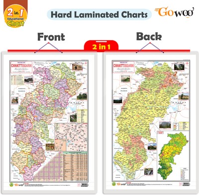
2 IN 1 CHATTISGARH POLITICAL AND PHYSICAL Map IN ENGLISH Charts | Wall Posters For Room Decor High Quality Paper Print With Hard Lamination (20 Inch X 30 Inch, Rolled)(Hardcover, Sahil)
Quick Overview
Product Price Comparison
"Introducing our ""2-in-1 Chhattisgarh Political and Physical Map in English"" chart, now available in a convenient 20x30 inch size. This chart is an invaluable resource for students, educators, and anyone interested in exploring the geography of Chhattisgarh.The chart features both a political map and a physical map of Chhattisgarh. The political map showcases the state's administrative boundaries, including districts, capitals, and major cities. It provides a clear overview of the political divisions within Chhattisgarh.The physical map highlights the stateŌĆÖs topography, including mountain ranges, rivers, lakes, and other geographical features. It offers a comprehensive understanding of Chhattisgarh's natural landscape and physical characteristics.With this 2-in-1 chart, users can easily compare and contrast Chhattisgarh's political and physical aspects. It is a valuable reference tool for studying the state's geography, planning trips or conducting research.The 20x30-inch size ensures that the details on the map are easily readable and comprehensible. Whether used in a classroom, homeschooling environment, or personal study space, this chart provides a visually appealing and informative representation of Chhattisgarh's political and physical geography.Explore Chhattisgarh's diverse landscapes and administrative divisions with our ""2-in-1 Chhattisgarh Political and Physical Map in English."" This chart is essential to your educational resources, enabling a deeper understanding of the state's geography and political structure."

